
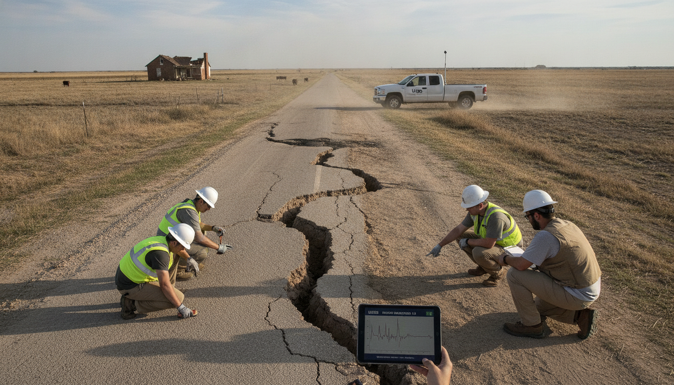
5.0-Magnitude Texas Earthquake Strikes Northeast of Amarillo, USGS Says
A 5.0-magnitude Texas earthquake struck about 60 miles northeast of Amarillo on Thursday, July 23, 2026, at 5:21 a.m. Central Time, the United States Geological Survey reported. The Texas earthquake was initially logged at magnitude 4.4 before seismologists revised the reading upward as they reviewed seismic records. Officials cautioned the magnitude and shake-intensity maps remained preliminary and could be adjusted as more data were processed.
Magnitude Revised After Early Readings
The USGS’s automatic systems first reported the temblor as a 4.4 before analysts re-evaluated station records and updated the magnitude to 5.0. Such revisions are common as seismologists incorporate additional waveform data and refine the event’s source parameters. The agency said further adjustments were possible until the full set of recordings had been analyzed.
Epicenter and Shake Intensity
The quake’s epicenter was located roughly 60 miles northeast of Amarillo in the Texas Panhandle, according to USGS coordinates supplied with the bulletin. Shake-intensity maps show areas with weak to moderate shaking and indicate the tremor may have been perceptible well beyond the immediate epicentral zone. The USGS shake data was current as of Thursday, July 23, 2026 at 6:51 a.m. Eastern Time, the agency noted.
Aftershocks and Ongoing Monitoring
USGS seismologists were monitoring the region for aftershocks and compiling a catalog of smaller events in the hours following the main shock. Aftershock information in the initial release covered earthquakes within 100 miles and seven days of the initial event, with the aftershocks data timestamped as of Thursday, July 23, 2026 at 11:52 a.m. Eastern Time. Officials emphasized that aftershock sequences can continue for days to weeks and urged residents to remain alert to additional shaking.
Local Response and Preliminary Impact Assessments
At the time of the USGS bulletin, there were no immediate, confirmed reports of large-scale structural damage or casualties in the affected area in preliminary feeds. Local emergency managers and public safety agencies typically conduct rapid assessments following seismic events and will update communities if significant impacts are found. Residents in Amarillo and surrounding counties were advised to report damage through official local channels to assist response planning.
Why Magnitude and Maps Can Change
Magnitude estimates and shake-severity maps are routinely updated after an initial automatic calculation because analysts add higher-quality data from a wider array of seismic stations. The USGS and partner institutions refine the event location, depth and energy release as more seismograms are reviewed and noise-filtering is applied. These adjustments improve the precision of hazard products used by emergency managers and infrastructure operators.
Seismic Context in the Texas Panhandle
The Texas Panhandle has recorded occasional moderate earthquakes historically, and seismicity can be influenced by natural tectonic processes as well as human activities in some areas. Experts urge homeowners and businesses in quake-prone regions to follow basic preparedness steps such as securing heavy items and knowing safe drop-cover-hold procedures. State and local authorities also maintain guidance for post-earthquake safety and inspection of critical infrastructure.
In the hours after the event, the USGS continued to compile seismic data and update public information products; further bulletins were expected as analysts completed their review.
