
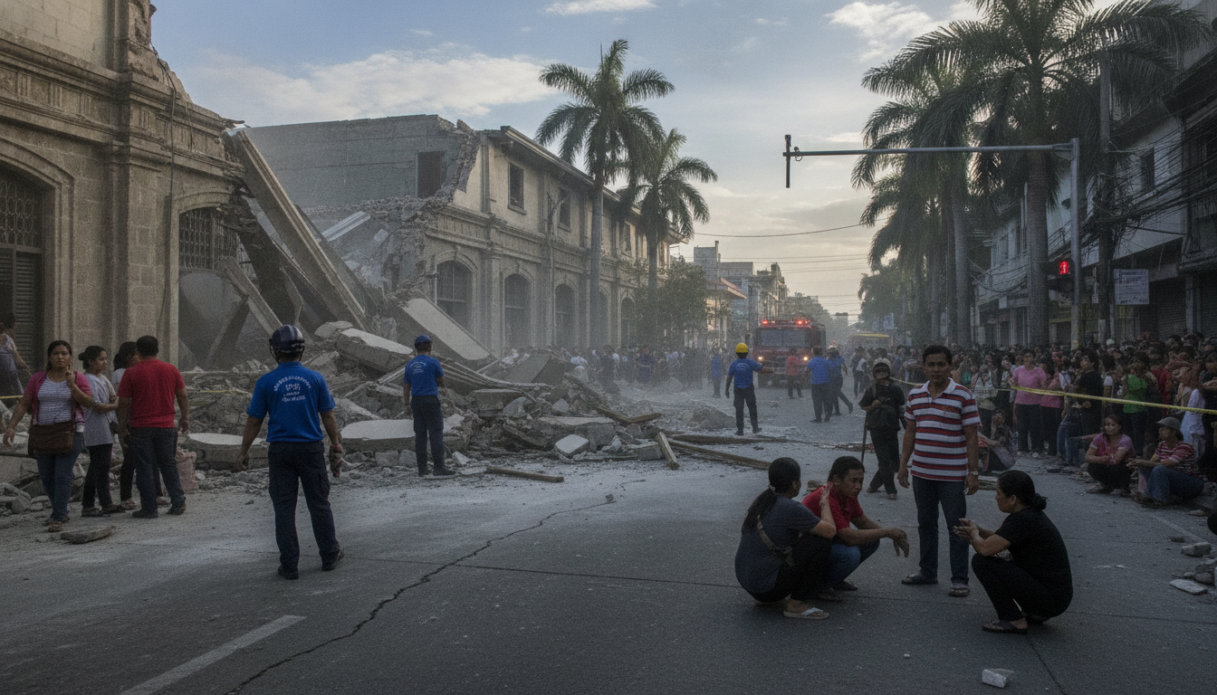
Strong tremors rattle northern Philippines as USGS records multiple quakes
Multiple earthquakes in the Philippines, ranging from magnitude 5.0 to 5.4, struck near Balangonan and in the Philippine Sea on Wednesday, the U.S. Geological Survey reported. The first event was recorded at 9:16 p.m. Philippine time, and seismologists say several aftershocks followed east of Manila. Authorities and monitoring agencies continue to review data as maps show shaking felt beyond the immediate epicenters.
Series of quakes centered near Balangonan
The U.S. Geological Survey listed the initial temblor at about 9:16 p.m. Philippine time with an epicenter roughly two miles northeast of Balangonan. Reported magnitudes for the sequence so far range from 5.0 to 5.4, with more than one event recorded in and around the Philippines on Wednesday. Officials cautioned that preliminary magnitudes are subject to revision as seismologists complete routine reviews of the waveforms.
Aftershocks located in the Philippine Sea east of Manila
Following the first quake, at least two additional shocks were detected in the Philippine Sea east of the capital region. The agency’s aftershock maps include earthquakes occurring within 100 miles and seven days of the initial event when available, and the current charts reflect the cluster tied to Wednesday’s sequence. Seismologists said such aftershocks are typical after a moderate quake and urged residents to expect more smaller tremors in the coming hours and days.
Shake intensity and areas reporting tremors
Shake-intensity maps produced from the USGS data show areas with a recorded intensity of 3 or greater on the Modified Mercalli Intensity scale, which the agency classifies as “weak.” The maps also note that the earthquake may have been felt outside the zones highlighted, and that all map times are shown in Philippine time. Population density overlays provide context for which communities might have experienced perceptible shaking, though no centralized damage assessments have been released with the initial data.
Data timestamps and ongoing analysis
The USGS noted that shake data used for mapping was current as of Wednesday at 9:42 a.m. Eastern, while aftershock listings were updated as of 3:53 p.m. Eastern on the same day. These timestamps reflect internal processing and publication schedules and are presented alongside Philippine local-time references. Analysts emphasized that as more seismic records are processed and additional stations report, estimates of magnitude, depth and epicenter location can be adjusted.
Potential impacts and local response measures
At this stage there are no consolidated reports of major damage or casualties linked to the series of quakes, and local authorities have been monitoring conditions in affected provinces. Emergency services routinely remind residents in earthquake zones to check for structural damage, avoid downed power lines, and to follow official guidance if aftershocks continue. Coastal communities were not immediately reported to be under tsunami advisories, and the publicly available USGS maps did not indicate a tsunami threat tied to these events.
What residents and businesses should expect next
Seismologists say clusters of moderate earthquakes typically produce aftershocks that diminish in size and frequency over time, but they can persist for days to weeks depending on the fault dynamics. Residents are advised to secure loose items, prepare basic emergency supplies, and stay informed through local authorities and the USGS for any revisions to the seismic record. Infrastructure inspections — especially of critical facilities such as hospitals and utilities — are commonly undertaken in the aftermath of repeated shaking to ensure safety and continuity of services.
The USGS continues to analyze waveform data and update its public maps and bulletins as new readings arrive, and officials encourage anyone who felt the tremors to report their experiences through regional reporting tools to help refine the intensity distribution.
